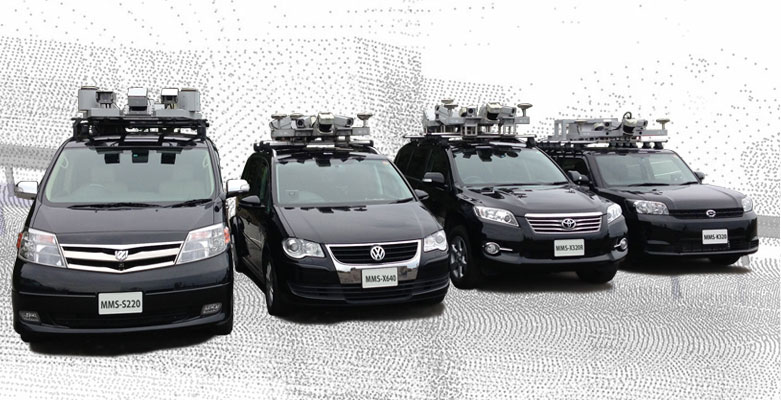


Takes measurements while in motion
Enables 3-dimensional mapping of open spaces with absolute accuracy of within 10 cm and relative accuracy of within 1 cm.
Modifies space data
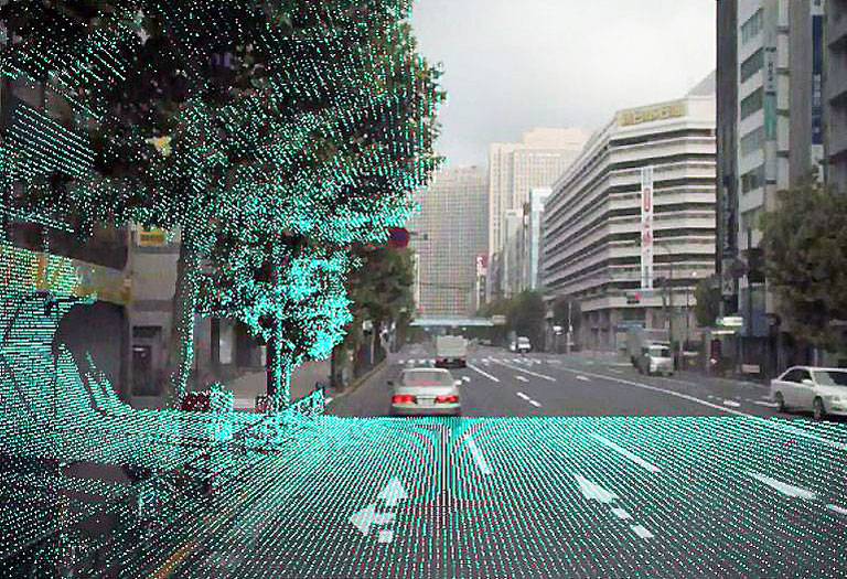
Offers high-speed display of point cloud data corresponding to vehicle position and travel video produced from trajectory (vehicle position) display images acquired.
Utilizes 3-dimensional data
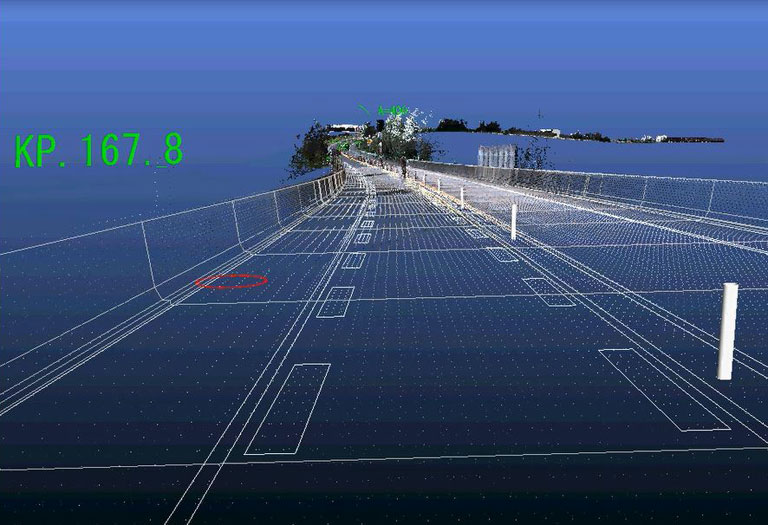
Provides 3D information and conditions surrounding specified points from MMS calculation data
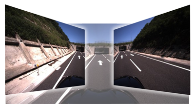
(Source:Oktal japon).